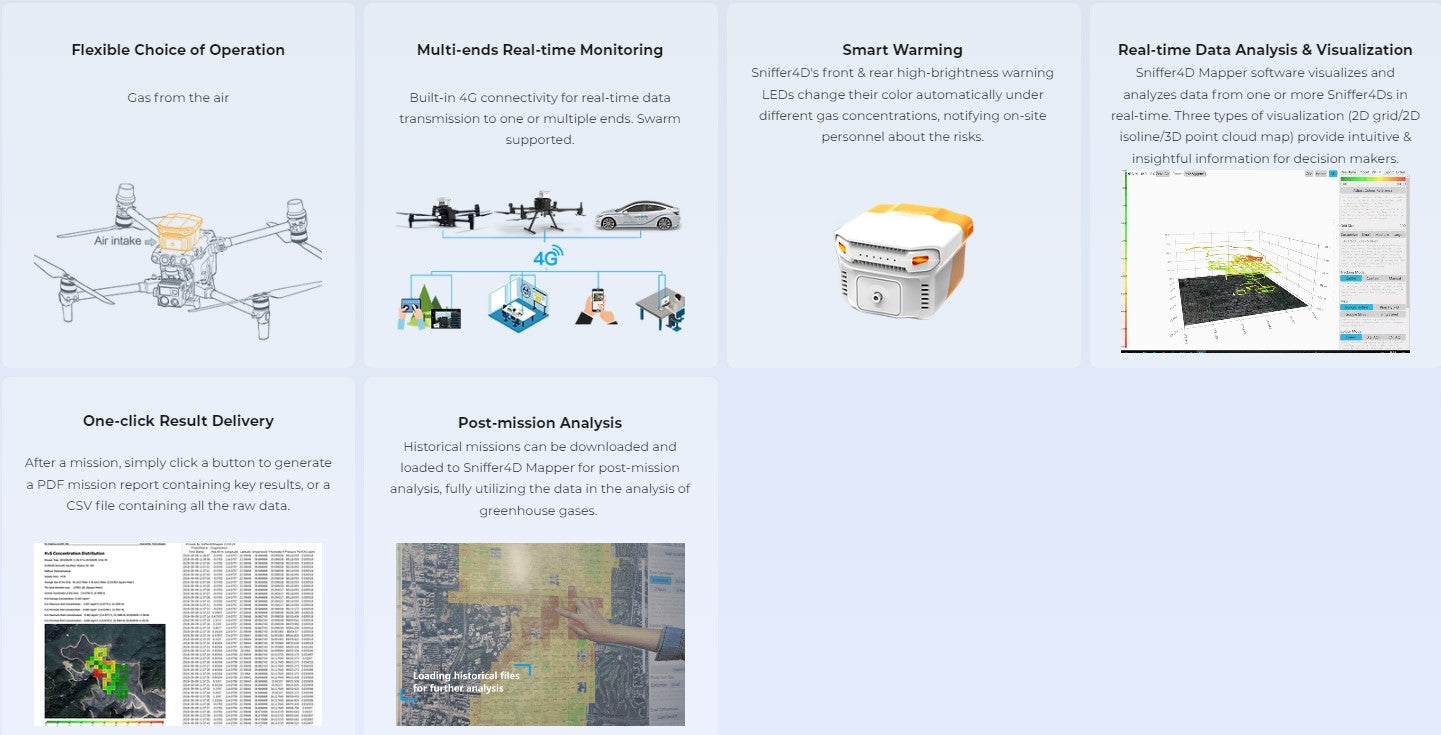
Traditional Solutions
Poor Flexibility in Deployment
Scenarios in energy, agriculture, solid waste treatment and scientific research cover various methane emission sources, requiring a new device to reduce cost and improve efficiency.
Challenges in Low concentration Detection
Fixed monitoring equipment has limitations in detecting low-concentration methane leaks.
Limited Work Scenario & Long Response Time
Laser scanning can easily be affected by the object surfaces or obstacles.
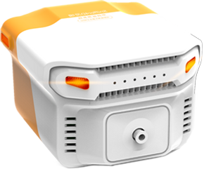
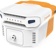
Sniffer4D 1ppm TDLAS Methane Sensing & Mapping System
Compatible with a variety of UAVs, supporting up to 3 external modules for customized tasks with different configurations.
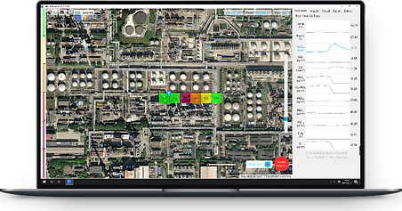
Advanced real-time data visualization and analytical software — Sniffer4D Mapper
Real-time intuitive & insightful information for decision-making
Sniffer 4D 1ppm TDLAS Methane Sensing Module
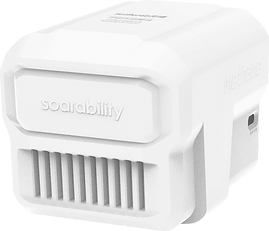
Sniffer4D Mini2 base unit or Sniffer4D 1ppm NDIR CO2 Sensing & Mapping System required.

DJI Dock
Supports Private Deployment to Third-party Platforms
* Contact Soarability to activate access
Sniffer4D hardware supports real-time data outputting to user-specified platforms through the MQTT protocol.
Sniffer4D Mapper software also supports outputting the decoded data (json format) to a designated IP address through UDP.
Achieve Top-down Approach for Efficient Environmental Monitoring

Public Transport & Service Vehicles for Ground Measuring
With the long operating hours and random driving routes, the public transport & service vehicles-mounted solution can further reduce the cost of data collection, improving efficiency in locating the fugitive emissions sources scattered in time and space.
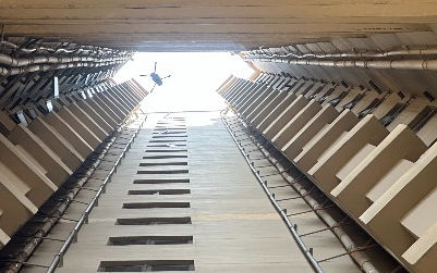
UAVs for Aerial Measuring
With the planned flight path and regional coverage, the UAV-based detection can achieve quick data collection from low altitudes covering a large area.
Together with the visualized analytical software, the system brings real-time data display and visualization, as well as one-click result delivery for decision makers.
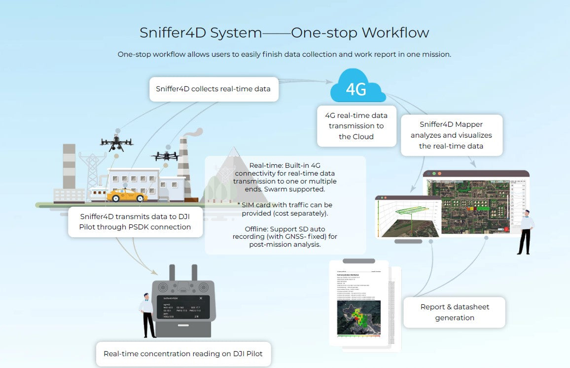
One-stop Workflow
One-stop workflow allows users to easily finish data collection and work report in one mission.
Typical Applications

Oil & Gas Pipeline Detection

Refinery Facility Detection
Urban Natural Gas Pipeline Detection
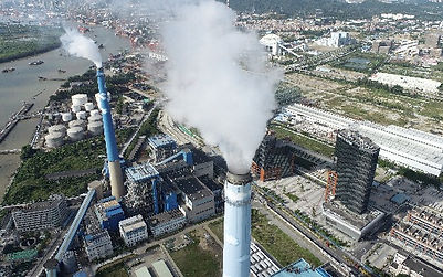
Industrial Park Detection

Landfill Detection